Our solutions
Vehicle Telematics System for Fleet Tracking
Track vehicles, assets and fleet activity in real time with connected telematics, GPS tracking and operational insights that help improve utilisation, efficiency and decision making.
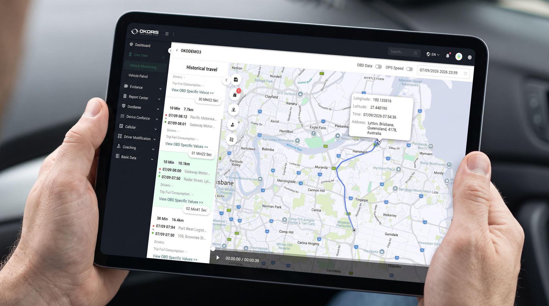

Know where your fleet is and how it’s performing
OKORIS combines GPS tracking, telematics and IVMS data through a connected telematics tracking system to give fleet teams a real time view of vehicle activity, asset movements and operational performance from one platform.
Key platform benefits

Improve utilisation
Identify underused vehicles and assets.

Reduce downtime
Spot maintenance and performance issues earlier.

Strengthen planning
Use live and historical data to support better fleet decisions.

Identify inefficiencies
Identify cost and productivity issues.
Complete fleet visibility
Our telematics fleet management system brings vehicle location, asset activity and operational data into one platform, helping fleet teams make better decisions.
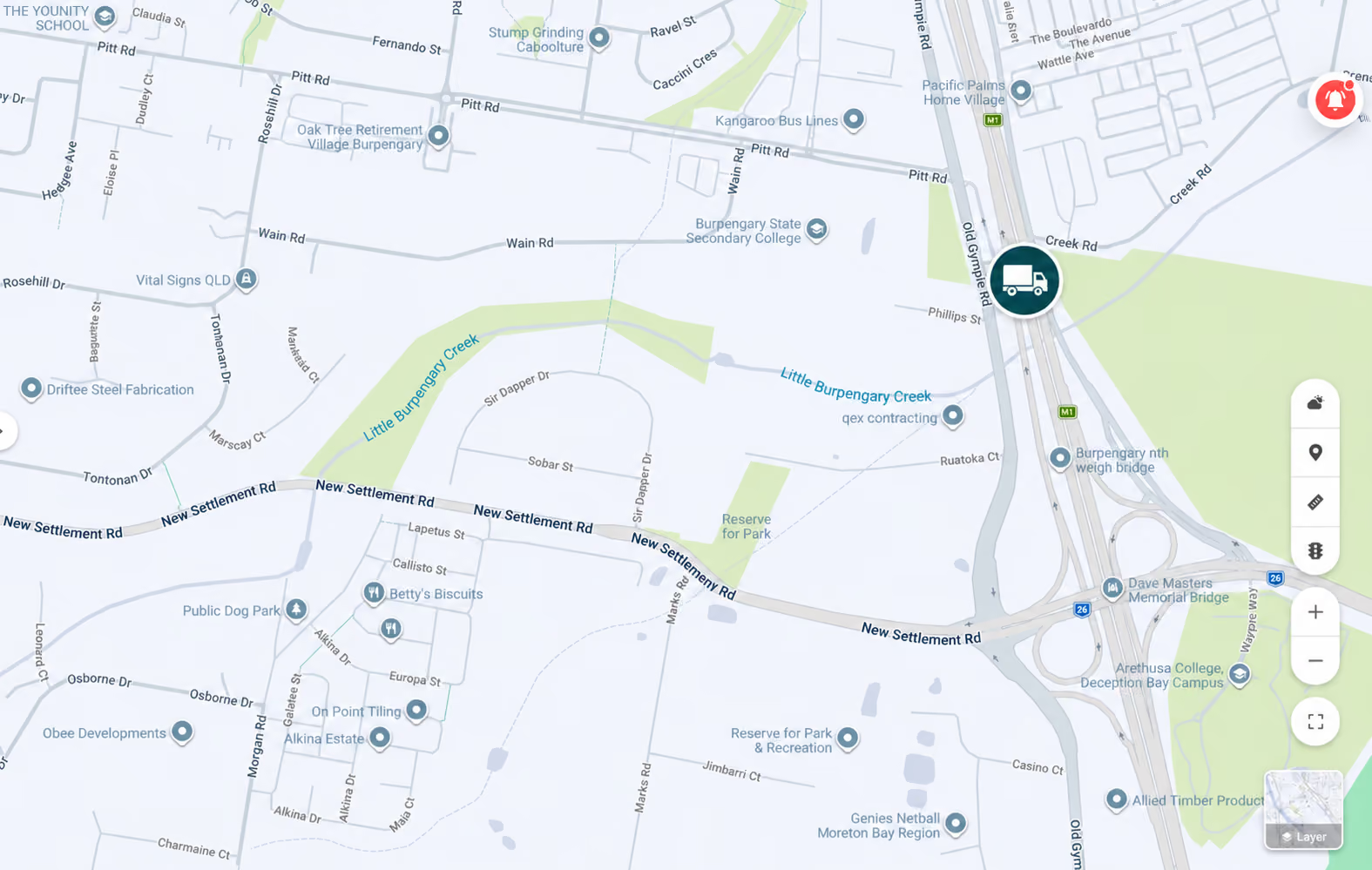
Real time GPS tracking
Monitor vehicle location and movement as it happens, with live maps and clearer route visibility across your fleet.

Fleet utilisation
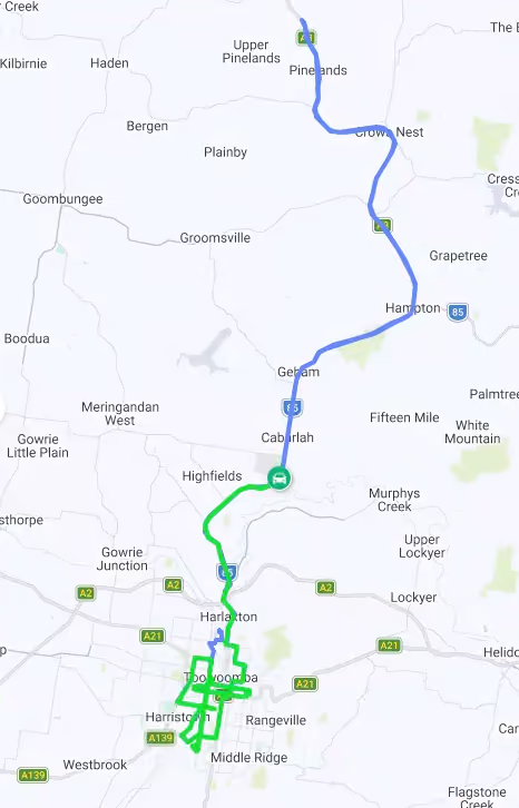
Understand how vehicles and assets are being used across the operation, tracking idle time, trip history and hours on road to identify opportunities to reduce costs and improve efficiency.
Engine and performance data
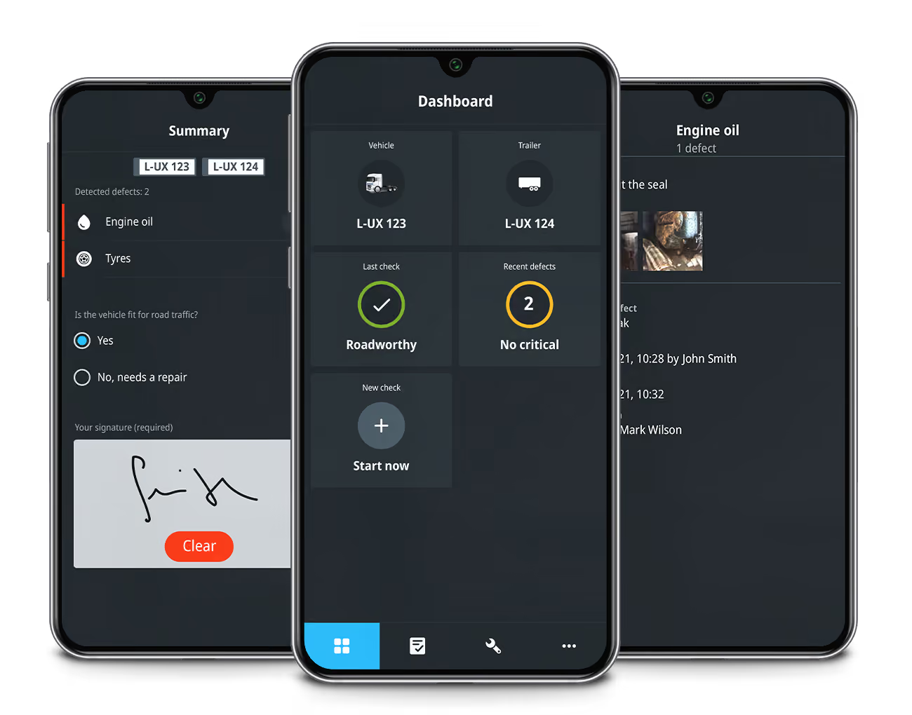
Access detailed engine and vehicle performance data to stay on top of maintenance needs, reduce downtime and extend the working life of every asset in the fleet.
Asset tracking
Keep tabs on every asset, powered or non-powered, including trailers, equipment and machinery. Know where everything is, at any given moment.
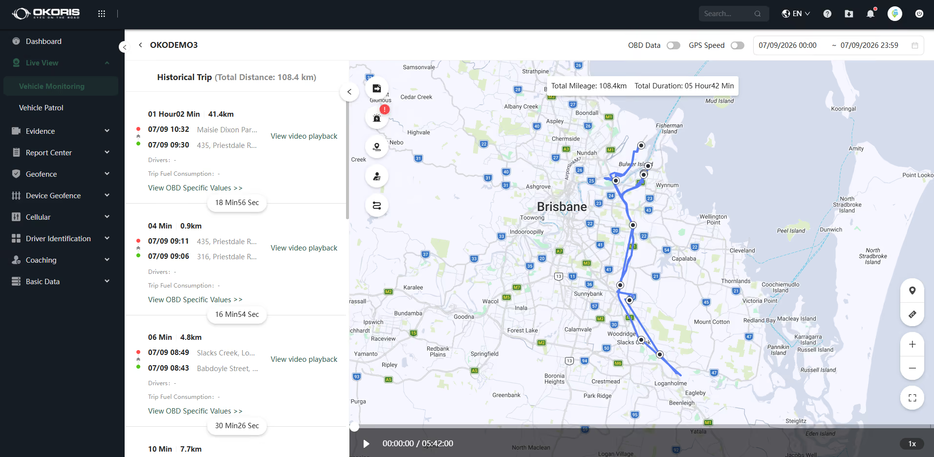
Automated reporting
Receive automated reports and notifications that give fleet managers a clear, up-to-date picture of operations, without the manual work of pulling data together.
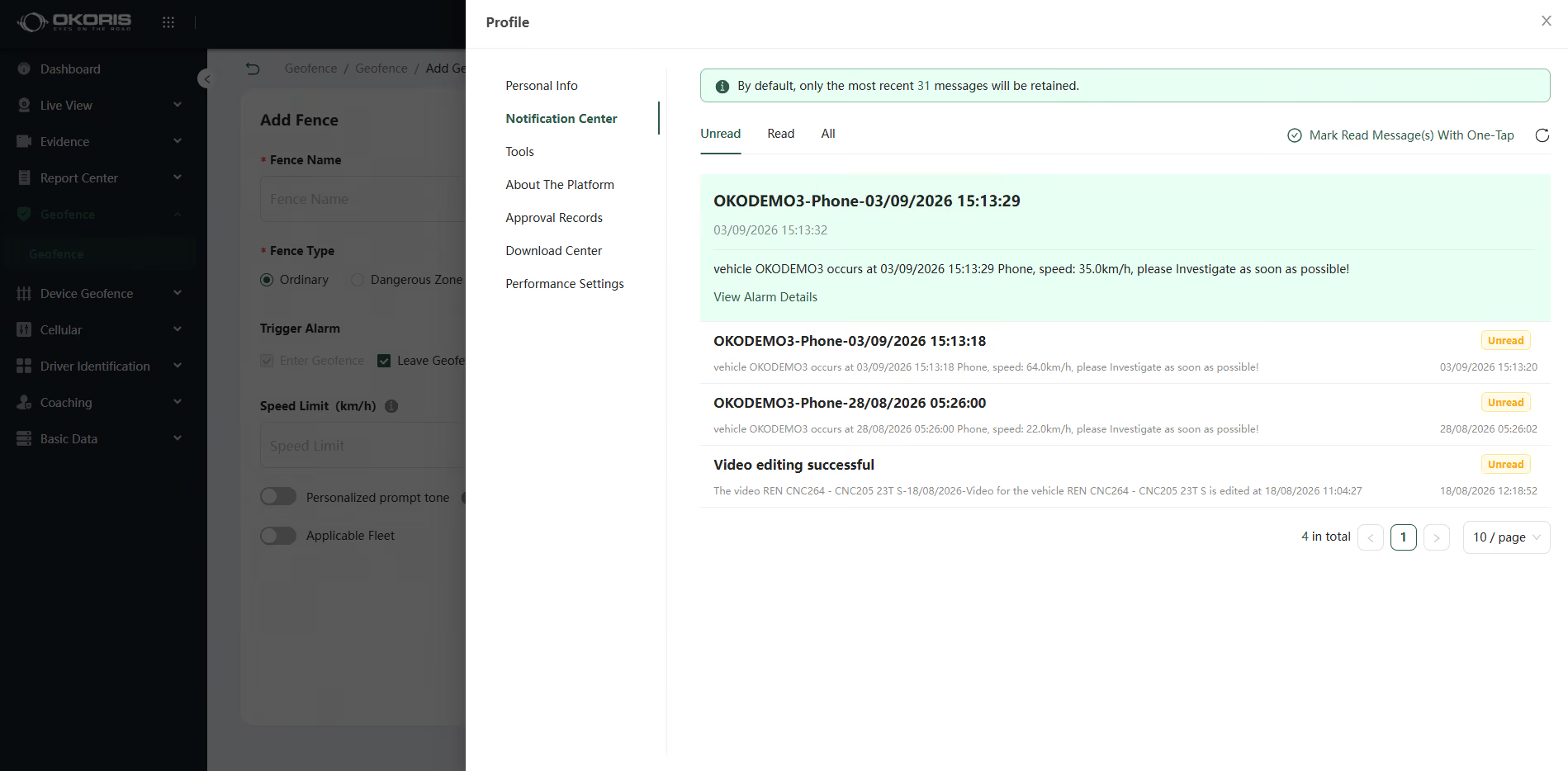
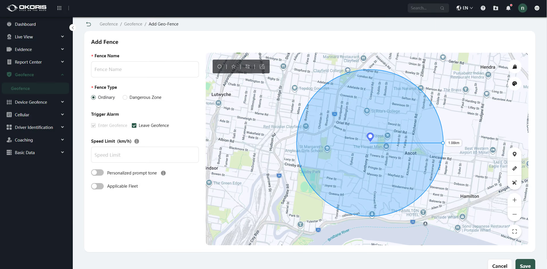
Geofencing and alerts
Set defined zones across the operation and receive instant notifications when a vehicle enters or leaves, giving fleet managers greater control over routes, schedules and unauthorised movements.
How telematics & fleet tracking works
Telematics continuously collects fleet data, with telematics vehicle tracking turning vehicle activity into insights that help operators improve visibility, efficiency and performance.
Built for complex fleet operations
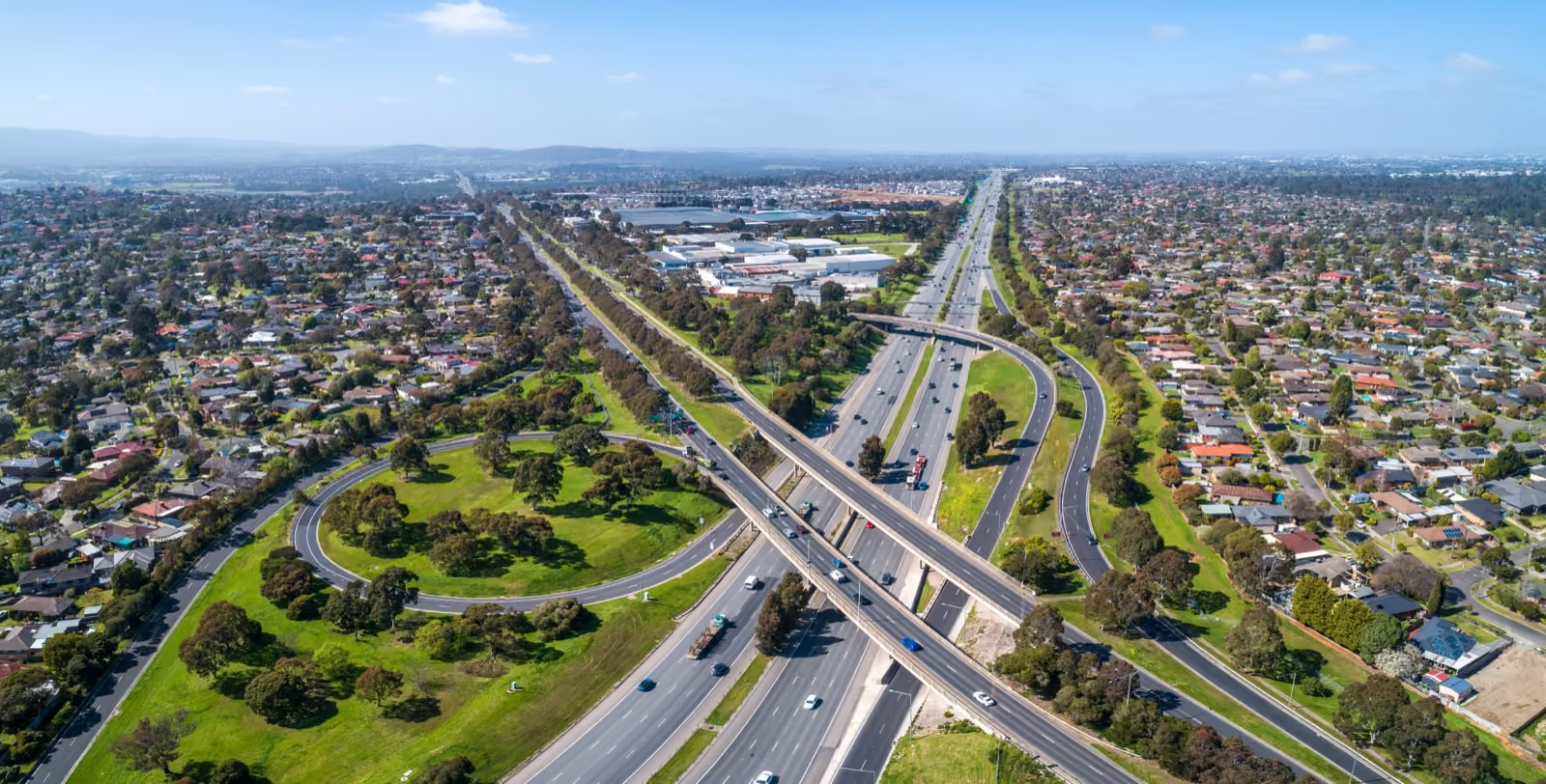
Transport & Logistics
Improve dispatch visibility, monitor delivery progress and gain greater control over fleet utilisation across freight and distribution operations.
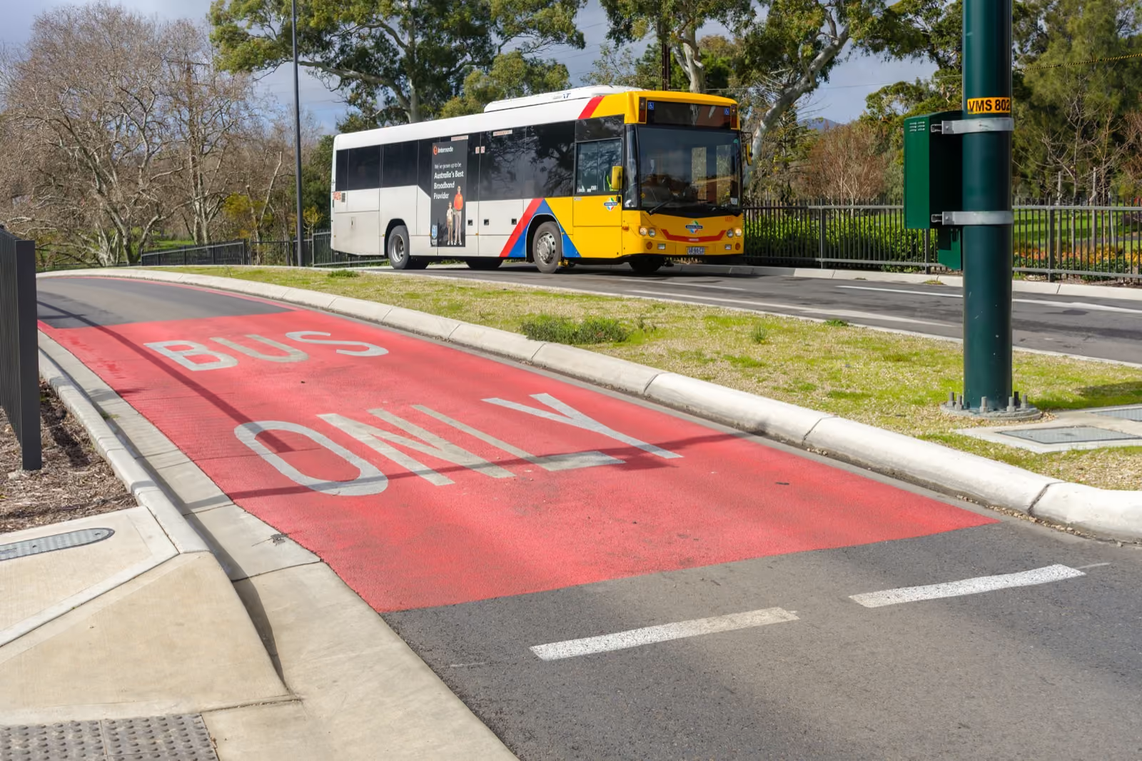
Passenger Transport (Bus)
For bus and coach fleets that need stronger driver monitoring, passenger safety, route visibility and incident evidence.
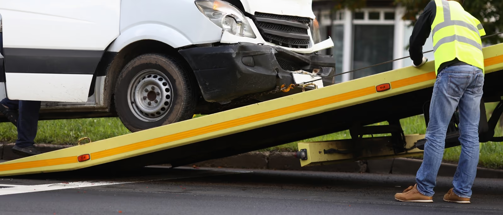
Tow Truck & Services
For tow truck and roadside fleets that need faster dispatch, safer drivers and clear evidence when incidents occur.
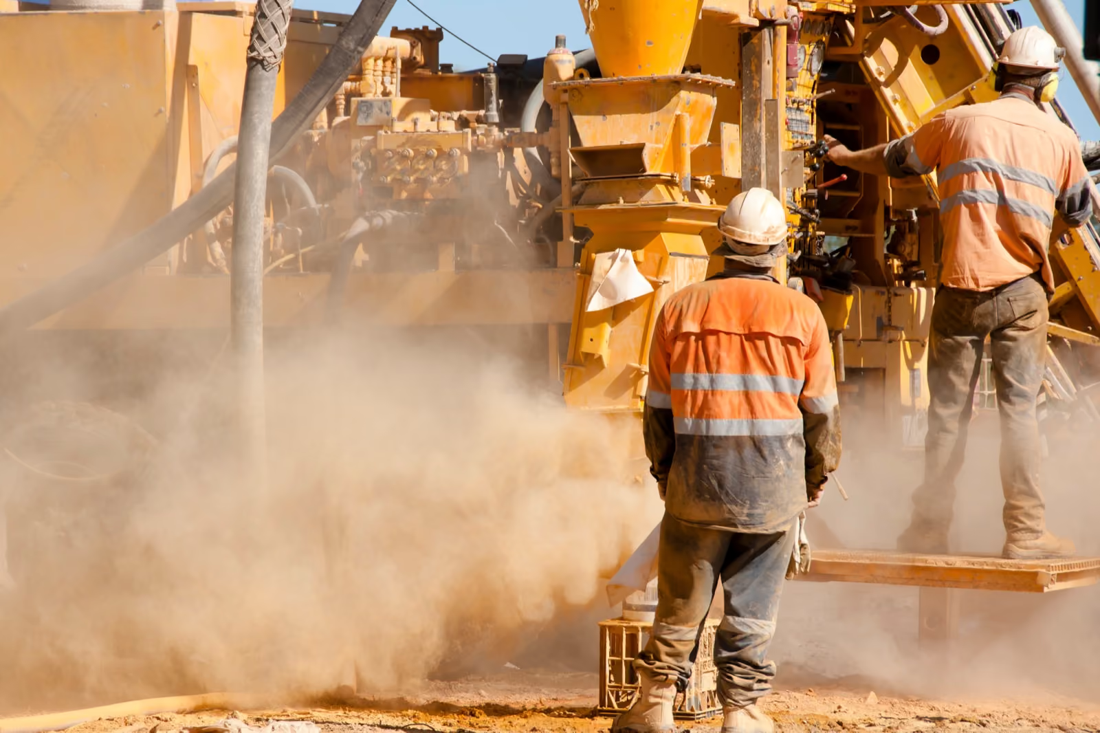
Mining
For mining fleets that need visibility across remote operations, stronger fatigue management and simpler safety compliance.
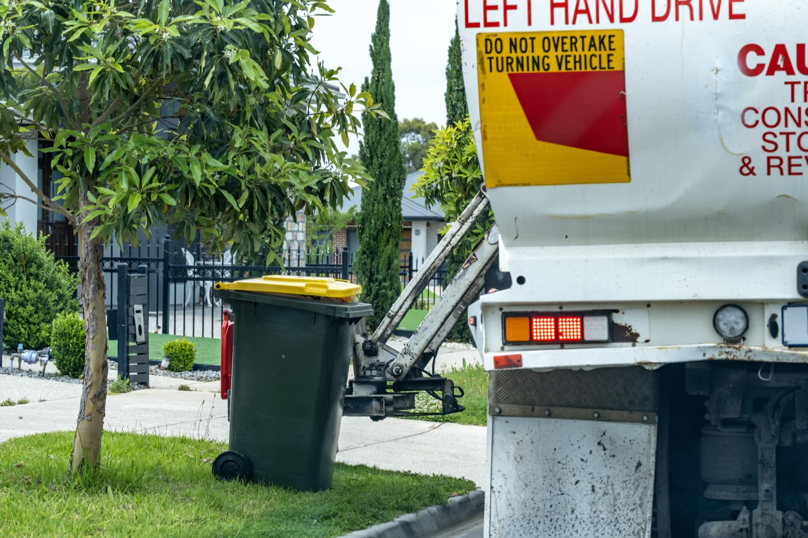
Waste Management
For waste and recycling fleets that need safer collection routes, better vehicle visibility and clear evidence when incidents or damage occur.
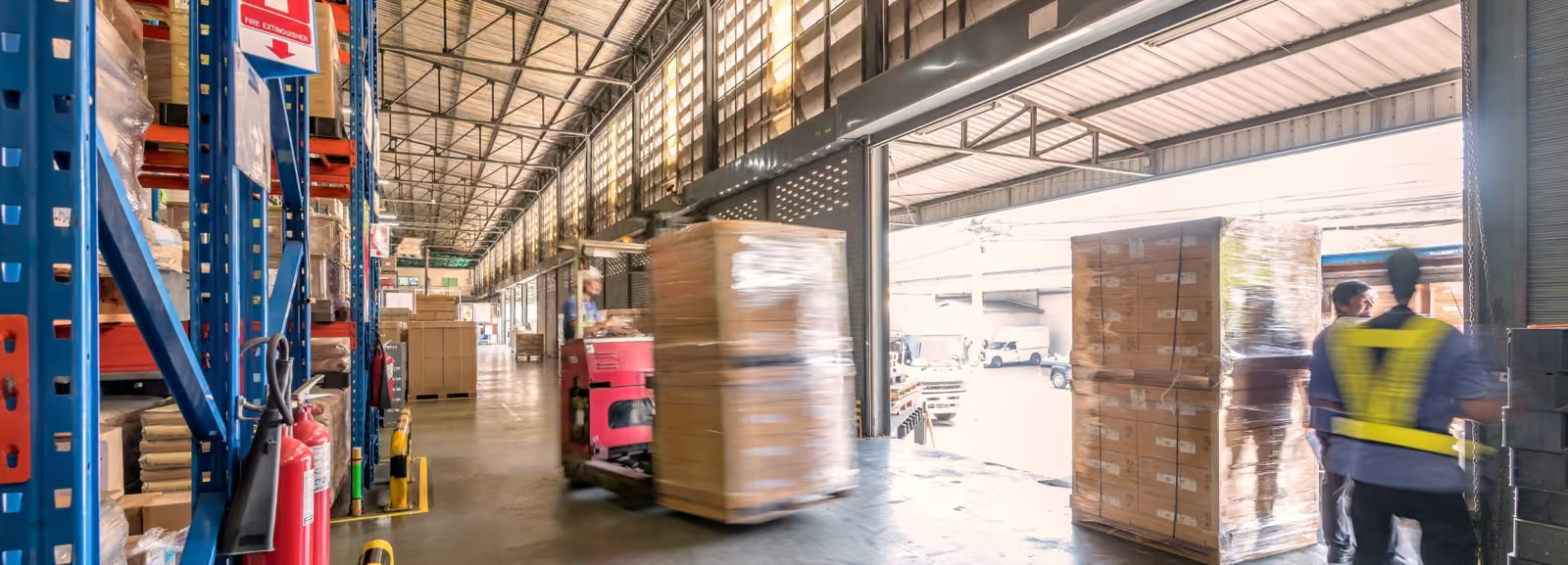
Warehousing
For warehouse and distribution operations that need clearer visibility across yard vehicles, delivery fleets, trailers and mobile assets.
Delivering results across leading fleets
FAQs

Fleet telematics combines GPS tracking, vehicle data and reporting tools to provide real time visibility across your fleet. This helps organisations monitor vehicle activity, improve utilisation and make more informed operational decisions.
GPS tracking shows where a vehicle is located. Telematics goes further by combining location data with vehicle activity, engine information, utilisation reporting and operational insights.
Yes. OKORIS can track trailers, equipment and other non powered assets alongside vehicles, providing visibility across your entire operation from one platform.
IVMS, or In Vehicle Monitoring Systems, combine GPS tracking, driver activity and vehicle information to support operational visibility, compliance and reporting requirements.
Location updates can be configured based on operational requirements and device settings, providing near real time visibility across your fleet.
Yes. OKORIS stores historical trip information, allowing fleet managers to review routes, movements, stop times and previous vehicle activity when required.
Absolutely. Virtual boundaries can be created around depots, customer sites, projects and operating areas, with alerts generated when vehicles enter or leave these locations.
Yes. The platform can generate alerts for a range of events including geofence activity, vehicle movements, utilisation changes and other operational triggers.
Start building a safer fleet
See how Active Fleet helps organisations reduce incidents, improve accountability and respond faster when risks appear.